
Semaine d'Aviation
Nantes, France, August 14th - 21st, 1910
Nantes, France, August 14th - 21st, 1910
The Nantes Prairie de Mauves airfield
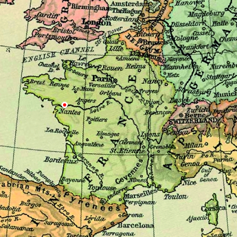
The field was meticulously prepared. All unwanted vegetation was removed, and the surface was rolled. Eleven portable Bessonneau hangars, one for each of the participating aviators, were arranged in the north-west corner of the field. It was reportedly the same hangars that were used at the Caen meeting two weeks before. Grandstands, buffets, bars and services, similar to those used at most aviation meetings were arranged south of the hangars, at the southwest corner, while open spectator areas extended both along the river and around half-way along the north side. The airfield was served by special trains and by boats on the river.
The 2.6-kilometre course was marked by six pylons, basically forming two parallel straights connected by tight turns. The layout of the airfield was not optimal in view of the predominant wind from the west, which blew from behind when the planes rolled out of their hangars. Several of the pilots transported their machines to the opposite end of the field in order to take off against the wind.
The airfield was apparently only used for this event, even though Gilbert le Lasseur de Ranzay landed there in September 1911, becoming the first flyer to fly to Nantes. The Prairie de Mauves is still mainly undeveloped, with some industrial installations at the north-west end and some allotments in the southwest end. It also contains a shantytown with some 700 - 1000 inhabitants that the local authorities plan to evict in order to build a modern recycling and waste management centre.
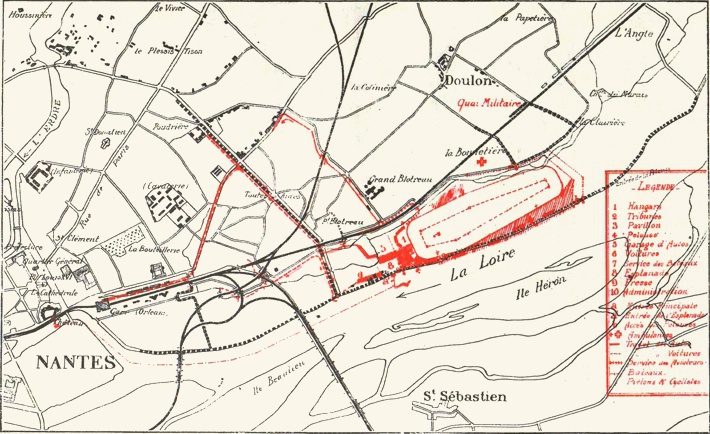
A map of the airfield and the access roads from the
meeting program. Click  here
for a bigger version.
here
for a bigger version.
here
for a bigger version.
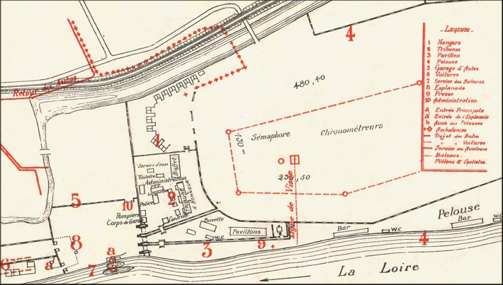
A plan of the hangar area from
the meeting program. The final arrangement of hangars
was slightly different. Click here for a bigger version.
(1)
here for a bigger version.
(1)
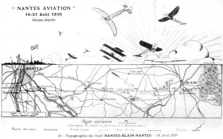
A map showing the
Nantes-Blain-Nantes race course. North is at four
o'clock. Click here for a bigger version.
(1)
here for a bigger version.
(1)
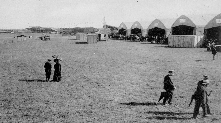
A view from the hangar area
towards the buffet and the grandstands. (1)
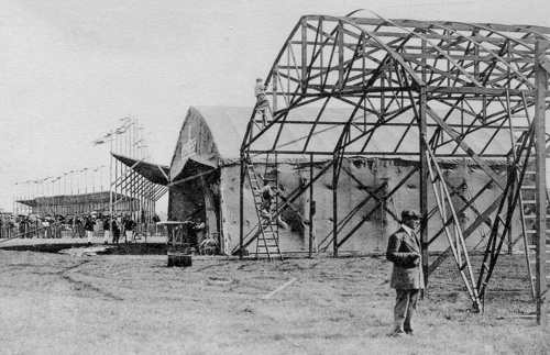
The Bessonneau hangars under construction, with the buffet and the main grandstand in the background. (1)
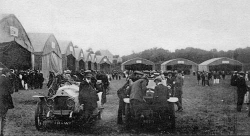
Ten of the eleven finished hangars. (2)
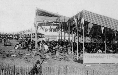
The grandstands and bars further from the hangar area. (1)
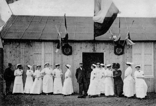
The airfield hospital and the nurses from "'Union de Femmes de France" (3)
Too see more details, open the maps in Google Maps by
clicking the "full screen" symbol at the top
right of the menu bar!
Back to the top of the page