
Überlandflug Frankfurt-Mainz-Mannheim
Germany, August 16th - 22nd, 1910
Germany, August 16th - 22nd, 1910
The Frankfurt-Mainz-Mannheim race course
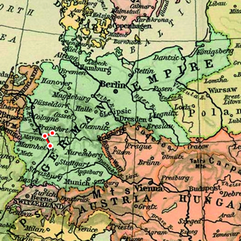
It was initially intended that there would be a control point at the Wiesbadener Rennplatz (racecourse), around six kilometres southeast of Wiesbaden, but close to the event it was decided that it was unsuitable for landing and that it was cancelled. This meant that there was only one control point and optional landing ground, at the Mainzer Sand military exercise grounds, on the sand dunes around five kilometres west of central Mainz. It was indicated by a tethered red-and-yellow balloon with a diameter of two metres.
The finish was initially proposed to be at the Mannheimer Rennplatz, at the Luisenpark around two kilometres east of central Mannheim, but it was decided at a late stage to move it to the Exerzierplatz, around two kilometres to the north. The finish line was indicated by a large cross marked on the ground.
The straight-line distance of the final course was around 91 kilometres, but it was expected that most pilots would follow the Main and Rhine rivers to simplify navigation, resulting in a course length of 105-110 kilometres.
All the airfield installations at the different locations were temporary and only used for this single event.
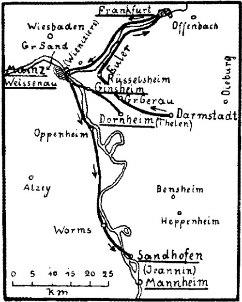
A simple sketch of the course, indicating the flights made by August Euler, Robert Thelen,
Eugen Wienciers and Emil Jeannin from August 14th to August 17th. (1)
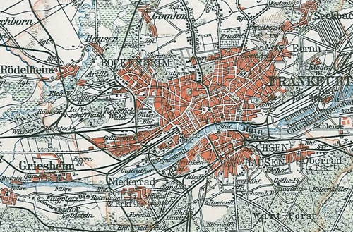
A 1909 map of Frankfurt am Main and its surroundings. The airfield was the
"Exerc.-Pl." immediately east of Griesheim, in the lower left quarter of the map.
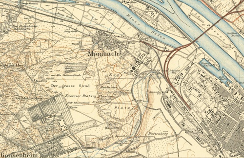
A 1901 map of Mainz and its surroundings. The Mainzer Sand airfield was the
"Exercier Platz", between Mombach and Gonsenheim, in the left half of the map.
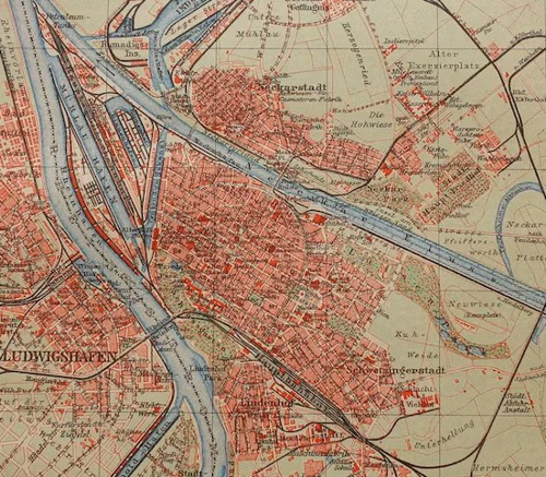
A 1911 map of Mannheim and its surroundings. The airfield was the "Alter
Exerzierplatz", in the upper right corner of the map. The originally proposed
landing ground was the "Neuwiese (Rennplatz)" in the lower right quarter.
Too see more details, open the map in Google Maps by clicking the "full screen"
symbol at the top right of the menu bar!
 Back to the top of the page