Grande Quinzaine d'Aviation
Stockel, Belgium, July 23rd - August 4th, 1910
Stockel, Belgium, July 23rd - August 4th, 1910
The Brussels/Stockel airfield
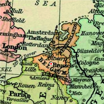
Saint-Pierre-Woluwe was one of the communes that applied for hosting the 1910 Brussels World Exhibition. It lost out to Solbosch, closer to the centre of the town, but instead it got to host the aviation meeting that was held during the exhibition. A line of hangars was built to host the twelve Belgian aviators that would participate. Access to the racecourse's existing installation was of course an advantage compared to the temporary airfields used for many other aviation meetings, but the airfield was hardly ideal. It was small, long and narrow, and bordered by trees and forests on all sides, which made it sensible to winds. The 1.667-kilometre course consisted of two straights, connected with 180-degree turns.
The racecourse was used for a couple of more aviation meetings before World War One, one of them featuring the famous Adolphe Pegoud, but there were no aviation activities there after the war. The racecourse remained in operation until 1957, when the last horse races were held. Most of the buildings were demolished during the following year, but the large grandstands were left until 1975, when they were also demolished to make place for a sports centre, a school and housing development. Today there is no trace of it.
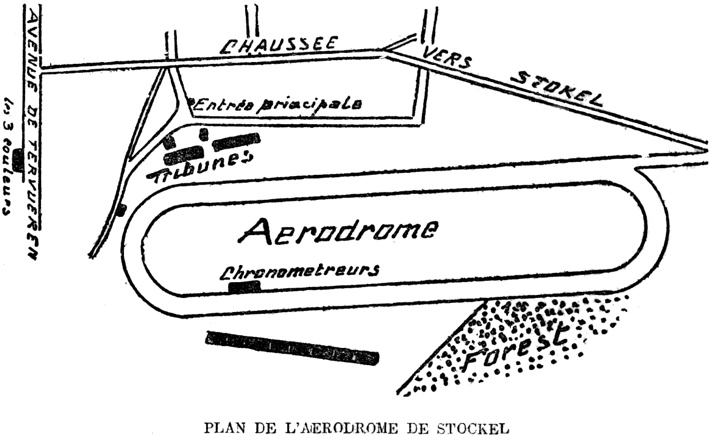
The layout of the airfield. North is at two
o'clock. (1)
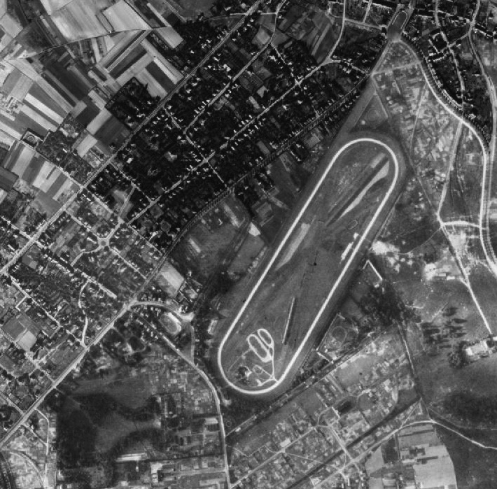
A 1944 aerial view of the racecourse. (2)
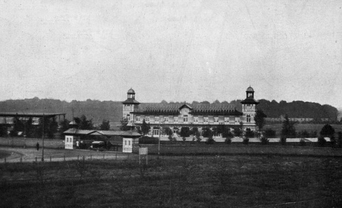
The main entrance and the main grandstands of the
airfield. (3)
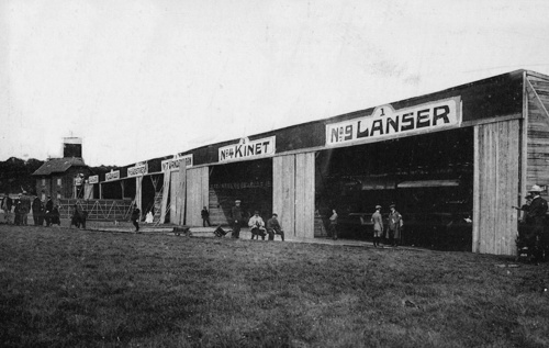
The hangars, with characteristic "art
nouveau" style lettering. (4)
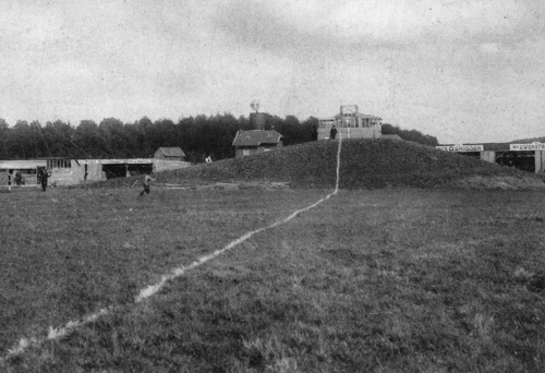
The start/finish line, stretching across the course
towards the timers' pavillion, which was located in
front of the line of hangars. (4)
Too see more details, open the map in Google Maps by
clicking the "full screen" symbol at the top
right of the menu bar!
 Back to the top of the page