Semana de Aviación de Sevilla
Sevilla, Spain, April 1st - 10th, 1910
Sevilla, Spain, April 1st - 10th, 1910
The Tablada airfield
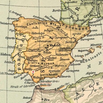
The town of Sevilla handed over the field to the military authorities in 1914. In 1915 it was opened for training of pilots and observers. During the 1920s parts of it were opened for commercial operations. The airfield was used by the German "Condor Legion" during the Spanish civil war and in 1968 it was used for shooting some scenes of the movie "Battle of Britain". The last combat units left the airfield in 1963 and flying activities ceased in 1990. The current Sevilla-San Pablo airport was opened in the late 1940s.
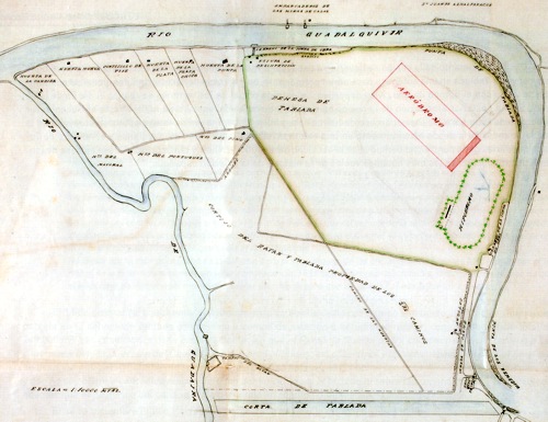
We don't know the exact layout of the 1910 installations. This 1915 map shows the horse race course to the right and the first plans for a military airfield at Tablada. North is at three o'clock. The stretch of the Guadalquivir along the right edge of the map was bypassed and filled during the end of the 1920s. (1)
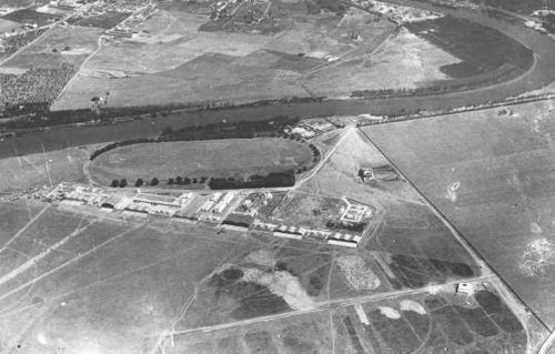
This is an aerial view of the race course during the mid-1920s. The military airfield is at the left bottom of the image. The buildings between the race course and the airfield still exist.
Too see more details, open the map in Google Maps by
clicking the "full screen" symbol at the top
right of the menu bar!