
Gran Senmana d'Aviació / Gran Semana de Aviación
Barcelona, Spain, May 1st - 8th, 1910
Barcelona, Spain, May 1st - 8th, 1910
The airfield at Hipódromo Can Tunis
In those days the racecourse was right on the outskirts of the town, with farmland to the west and to the south. Nowadays it is unrecognizable, covered by the infrastructure of Barcelona's huge "Porto Franco" harbour. The race course continued to be used as an airfield, but was finally closed in 1933.
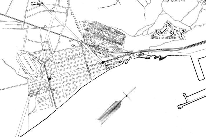
The exact layout of the airfield is not known, but this map, probably
from the 1930s, shows the location of the "Hipódromo" in
relation to Montjuich and the harbor - more information would be
welcome! North is indicated by the arrow.
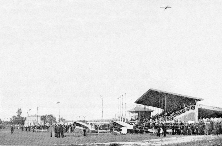
Olieslagers flying high above the grandstands. On the ground
Barrier's #4 plane in front of an unmarked Blériot, presumably de
Lesseps' or Simon's. (1)
Too see more details, open the map in Google Maps by clicking the
"full screen" symbol at the top right of the menu bar!